GR
 PELOPONNESE
ARCADIA
ORCHOMENOS
MYCENAEAN
PELOPONNESE
ARCADIA
ORCHOMENOS
MYCENAEAN
2024-11-17
Mycenaean settlement
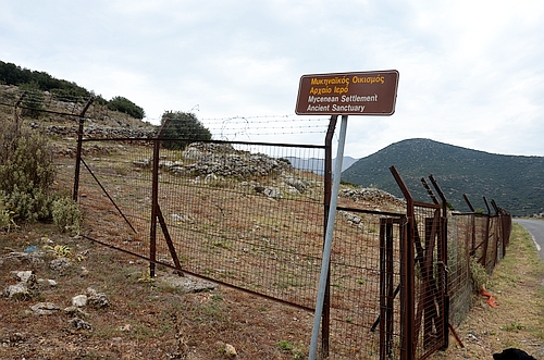

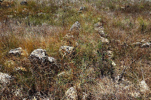
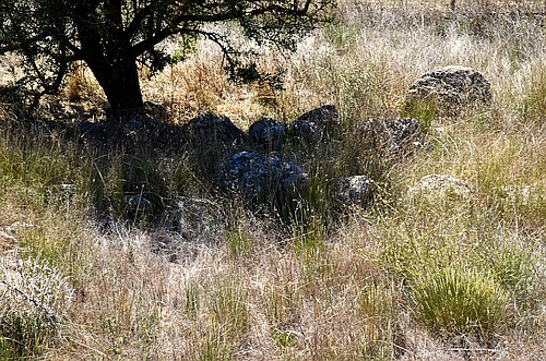
South of Orchomenos, next to the road to Palaiopyrgos, are the remains of a Mycenaean settlement and of an ancient sanctuary. The site, also known as Orchomenos-Palaiopyrgos, lies on the slopes of mount Mytikas and was identified with Homeric Orchomenos. Excavations were carried out by Theodoros Spyropoulos towards the end of the 20th century but scantily published. - The site is fenced and locked, so you can only see terraces with walls built of irregular stones.
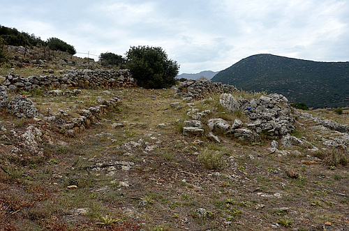
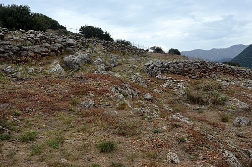
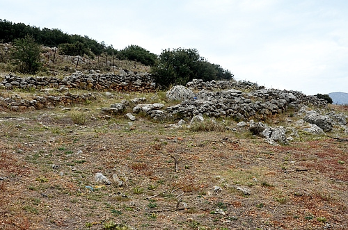

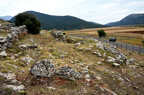
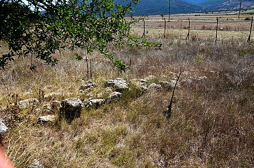
The quite extensive settlement also extended into the plain and remains of it can be seen on the southern side of the road (photos above right and below).
Mycenaean water works


In the deep gully between the upper and the lower basin of Orchomenos, East of the acropolis, are Mycenaean remains of a dam and perhaps a water-mill. It was part of the extensive system of water management to drain the upper basin and to channel the water in the lower basin.


Above right: View to the lower basin of Orchomenos where the Mycenaeans had various hydraulic installations, comparable in size to those in the Kopais basin or the Tiryns dam.