GREECE
 CRETE
LASITHI
KRITSA
LATO
CRETE
LASITHI
KRITSA
LATO
2024-10-28
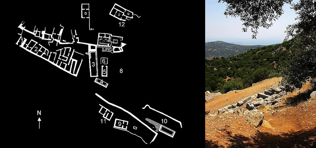
Lato was one of the most important Doric city-states in Crete, but the site was habitated even earlier and possibly is identical with the "RA-TO" mentioned in Linear B tablets. The heavily fortified city in the hills near Kritsa flourished mainly from Archaic to Hellenistic times. It overlooks the Gulf of Mirambello with modern Agios Nikolaos, where the ancient harbour of Lato was located. In the second century AD, this harbour site (Lato pros Kamara) became more important and Lato was then abandoned.
The site was explored by French archaeologists in 1899-1900, who also found an inscription identifying the place as ancient Lato. Still, the site appeared not as thrilling as Minoan remains, and so it lasted until 1967 before excavations were resumed. Today, Lato is the most thoroughly excavated and best preserved city of the Classical period on Crete.
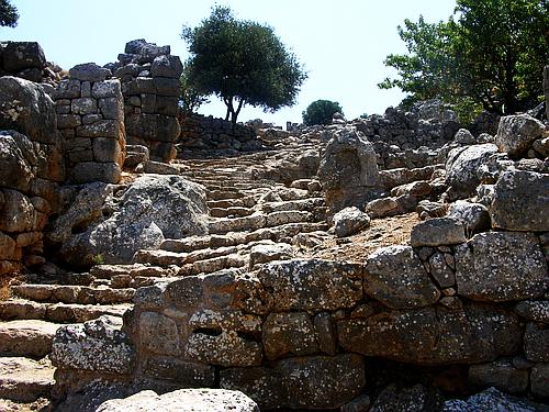
Above: Plan of ancient Lato and a view to the Gulf of Mirambello. - Below: The monumental main gate of the city and the terraced street that leads up from the main gate to the city: eighty steps up to the agora.
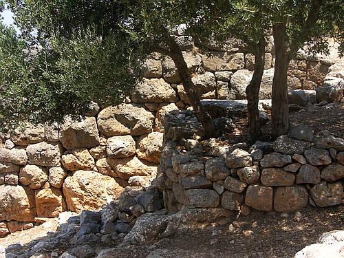
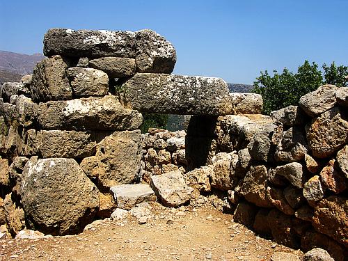
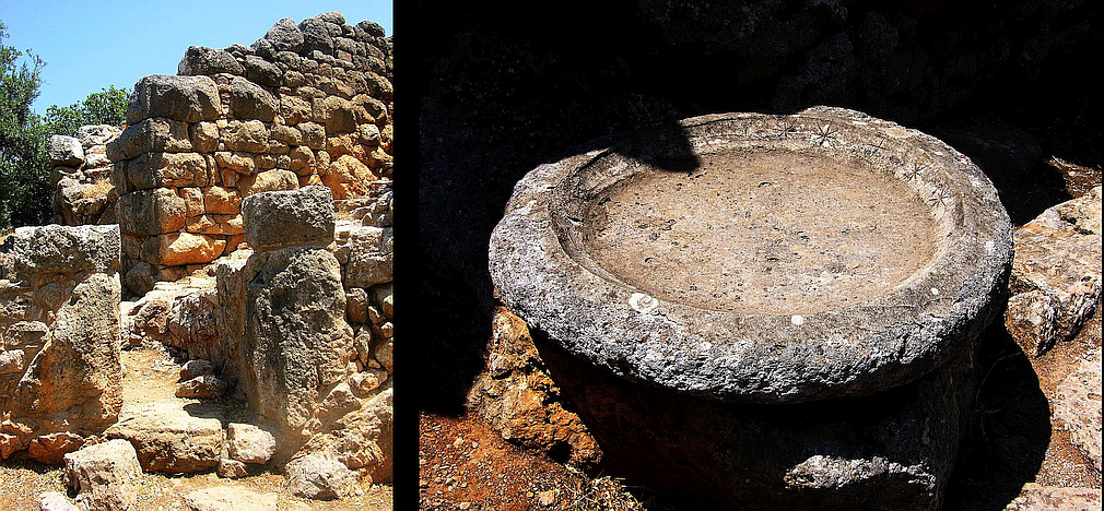
Above left: Masonry of the northern fortification wall. You can also see the steepness of the terrain, which necessitated the construction of several terraces. - Above right: Gateway and tower in the northern fortification wall.
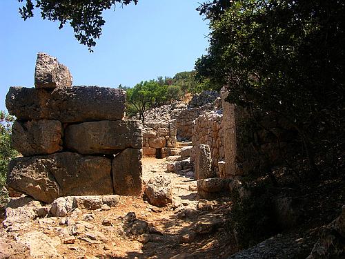
Below: To the south of the stepped street, doorways lead to shops and workshops.